
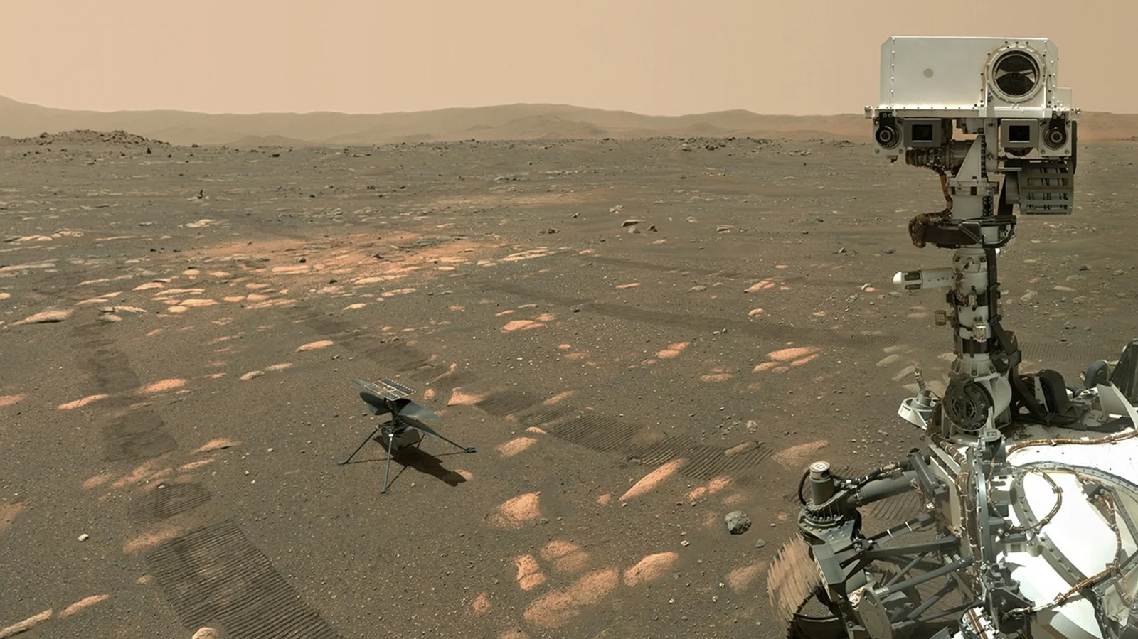
The planet is not on a video call.
A rover sends a picture. You spot a problem. You send a command. The command takes time to arrive, and evidence that it arrived takes more time to come back. Drag the slider above and watch the minutes accumulate.
NASA describes Earth–Mars one-way light-time as roughly 3 to 22.4 minutes, depending on the planets’ positions. Our slider rounds the upper end to 22 minutes. It does not calculate the current positions of the planets.
The timeline is deliberately generous. It assumes an immediate transmission each time and gives the operator two minutes to decide. Real scheduling, relay availability, processing and the action itself can add delay.
The explorer starts with an image taken at minute zero. One outward transmission brings it to Earth. After a fixed two-minute decision, a return transmission carries the command. Another outward transmission carries an immediate acknowledgment.
That is three one-way legs plus the decision interval, not a single round-trip ping. At a selected twelve-minute delay, the command arrives at minute twenty-six; the acknowledgment arrives at minute thirty-eight.
This is a timing model, not a telemetry connection. It does not model available links, bandwidth, rover scheduling or processing. No slider setting removes the propagation delay.
Give the rover a way to recognize home.
In February 2026, NASA reported that Perseverance had used Mars Global Localization to determine its own location by matching rover panoramas with onboard orbital maps. The report describes a process taking about two minutes, with location accuracy around 25 centimetres.
Previously, resolving this kind of location uncertainty could involve Earth-based comparisons and a longer operational cycle. The change matters because it moves a useful decision closer to the robot.
It is not GPS on Mars. It is a rover matching what it sees to a map, using onboard computing, including hardware originally used for helicopter communications. The reported result is specific evidence from this system, not a universal accuracy guarantee.
Perseverance’s reported localization combines local visual observations with stored orbital-map information. NASA identifies operational uses on 2 and 16 February 2026.
The reported approximately two-minute localization and approximately 25-centimetre accuracy belong to that account. They should not be promoted to a guaranteed bound across all terrain or conditions.
The engineering pattern is worth noticing: use onboard information to resolve a decision that would otherwise wait for a distant operator. Autonomy is partly about deciding where a question should be answered.
Which decisions should a distant robot be able to make without asking home?
Keep the claim attached to the evidence.
Original sources below. Reported results are not independent tests by Robotic.org. How we review sources and corrections ↗
1. NASA’s Perseverance Now Autonomously Pinpoints Its Location on Mars18 February 2026
- NASA reports onboard panorama-to-orbital-map matching used on 2 and 16 February 2026.
- The report describes about two minutes for a fix and approximately 25 cm location accuracy.
Boundary: Reported performance for this system is not an all-terrain bound. The reused processor is rover hardware previously used for helicopter communications.
Read the primary source ↗2. NASA: Mars Relay NetworkUndated NASA reference
- Earth–Mars one-way light-time varies with distance, approximately 3–22.4 minutes.
Boundary: The explorer uses a rounded scenario range. It does not estimate today’s delay or model relay and scheduling constraints.
Read the primary source ↗